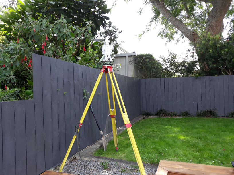
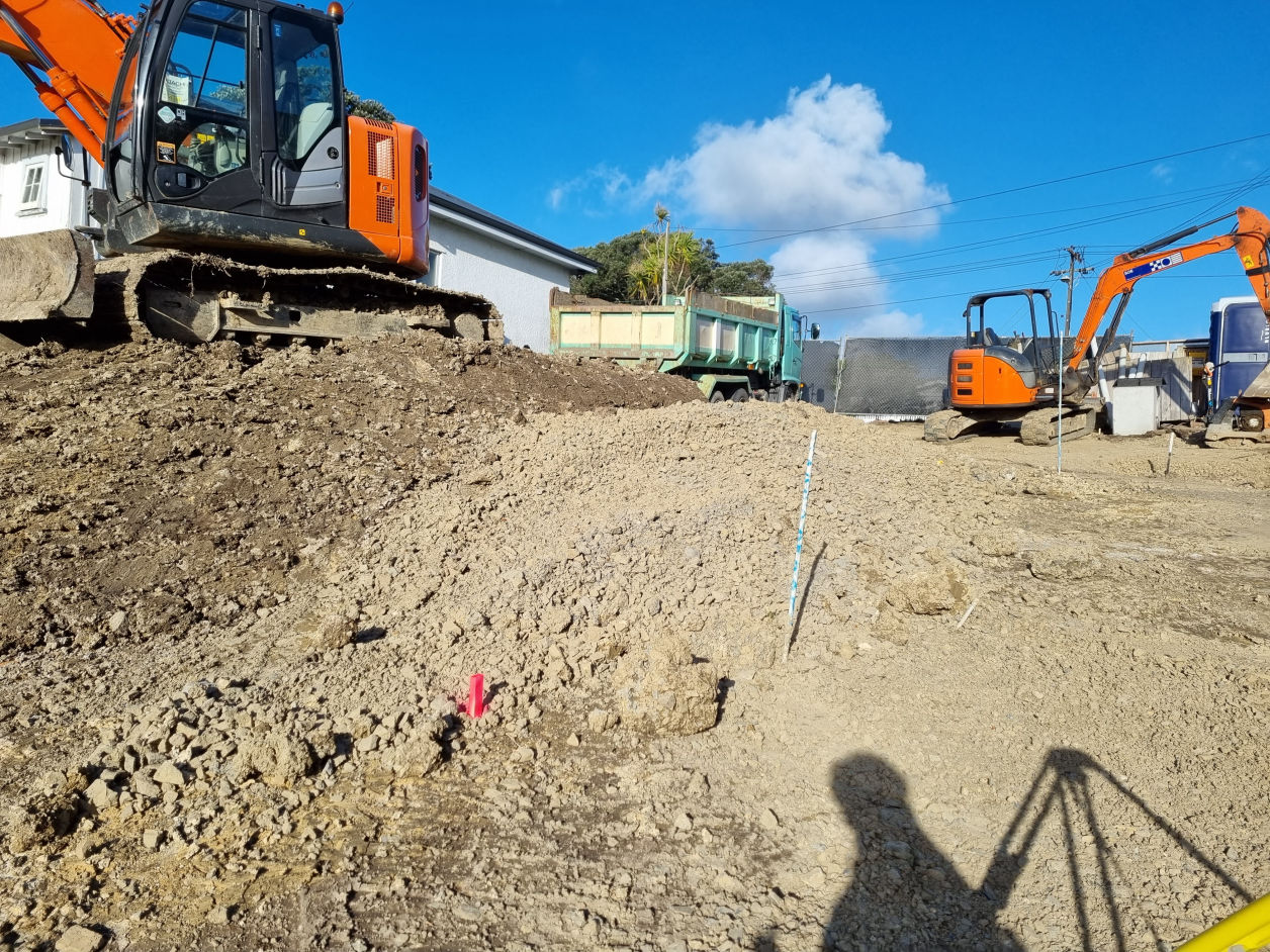
Quality and Expertise to All Land Surveying Projects

About GeoSurvey

GeoSurvey was established in 2019, with the goal of providing quality and effective solutions across the country for New Zealand's land survey needs.

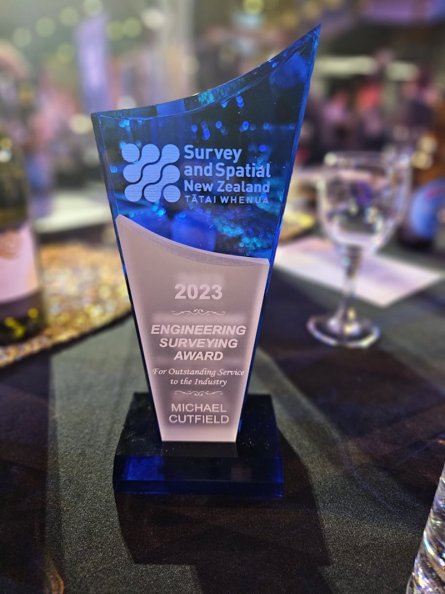
The director, Michael Cutfield, has a Bachelor's degree in both Surveying and Science from the University of Otago. He also is a Licensed Cadastral Surveyor (LCS), and now has become a Survey and Spatial New Zealand Certified Professional Engineering Surveyor.

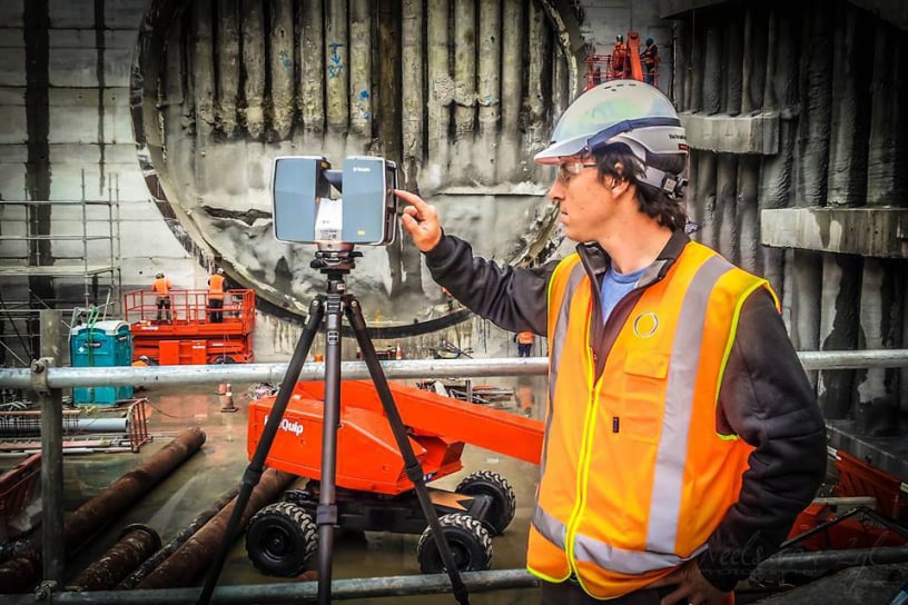
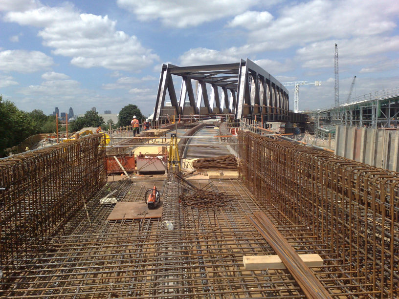
In addition to these qualifications, Michael has over 20 years of industry experience, and has played a key role in the surveying of some of the country's largest Infrastructure projects, including the Waterview Tunnel, Victoria Park Tunnel, Puhoi to Warkworth, City Rail Link, and many more.

GeoSurvey - geo from the Greek word for land, earth or soil, possibly contracted from the Greek god Zeus's grandmother, Gaîa. And Survey, not the kind that may happen during a census, but the Survey that you do of land which involves all forms of spatial measurements.

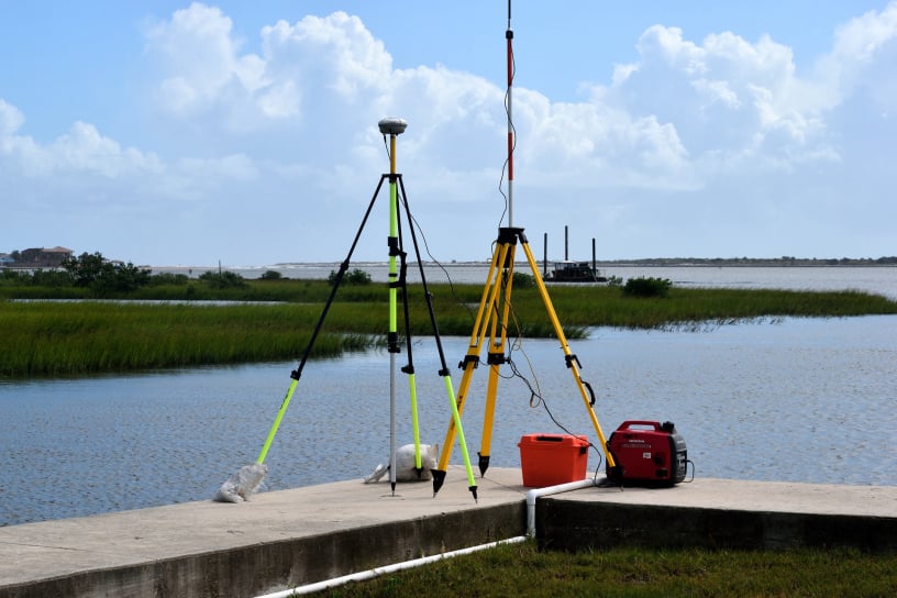
The name GeoSurvey also has its origins from the term Geospatial, and broadly encompasses the position and measurement of all things on our planet, not just the earth, but the sea and air also.


Mobirise Website Builder

Reality Capture

Mobirise Website Builder
Drone/UAV Surveys

Elevate your site data with cutting-edge drone technology, delivering efficient and high-resolution aerial surveys for mapping, inspection, and monitoring purposes with unparalleled precision

Mobirise Website Builder
Topographic Surveys

Accurate and reliable topographical survey services that provide comprehensive data and insights for your construction, engineering, or land development projects

Mobirise Website Builder
Asbuilt Surveys

Get certified precise and detailed as-built survey services to accurately document and capture the existing conditions of your construction or infrastructure project to the Council's standards

Laser Scanning
Laser Scanning

Unlock the power of advanced laser scanning technology to capture highly accurate 3D data of your surroundings, providing comprehensive insights for a wide range of industries and applications

Mobirise Website Builder
Monitoring Surveys

Ensure the ongoing health and stability of your infrastructure or environmental assets through our comprehensive monitoring survey solutions, utilising advanced techniques and technologies to provide real-time data and insights for informed decision-making

Mobirise Website Builder
Volume Calculation

Optimise your earthworks and construction projects with our precise volume survey services, accurately measuring and calculating quantities of materials to streamline operations and minimise costs

Setout and Stakeout

Mobirise Website Builder
Civil and Construction

Safeguard the success of your construction projects with our reliable construction markout survey services, providing accurate positioning and identification of key elements to facilitate smooth and efficient construction activities

Mobirise Website Builder
Boundary Marking

If you are doing fencing work, or need to know your property extents, gain clarity and confidence in your property boundaries with our comprehensive boundary survey services, ensuring accurate identification and demarcation of property lines for legal and planning purposes

Mobirise Website Builder
Certification

Streamline the council certification process with our expert survey services, delivering accurate and detailed documentation to support your applications for council approvals and compliance

Cadastral Surveys

AI apartment building
Unit Titles and Cross Lease

Navigate the complexities of unit titles and cross lease properties with ease through our specialised survey services, providing precise measurements and plans to facilitate property subdivision and ownership arrangements

Mobirise Website Builder
Limited Titles

Experience a seamless process for removing limited titles from your property with our professional survey services, ensuring accurate documentation and compliance with legal requirements

Mobirise Website Builder
Subdivision

Unlock the potential of your land with our comprehensive subdivision survey services, guiding you through the intricacies of the subdivision process to maximise your property's value and development opportunities

Mobirise Website Builder
Surveying is our passion

At GeoSurvey, land surveying is not just a service we provide; it's our passion and unwavering commitment to unlocking the true potential of every property, one measurement at a time.
With a deep-rooted appreciation for the importance of accurate land surveying, we are driven by the belief that precise data and comprehensive insights are the foundation for successful land development, infrastructure projects, and informed decision-making.
Our team of dedicated professionals embraces the challenges of land surveying, combining cutting-edge technology, meticulous attention to detail, and a genuine love for the craft to deliver exceptional results that exceed client expectations and leave a lasting impact on the landscapes we shape.

Write Us a Message

GeoSurvey Limited - 027 239 0266 - michael@geosurvey.co.nz

Affiliations and Licenses

GeoSurvey is proudly certified, licensed and a member with the following organisations:
Survey and Spatial New Zealand
Consulting Surveyors of New Zealand
Cadastral Surveyor Licensing Board of New Zealand

Latest News

Read the latest news about GeoSurvey
Survey and Spatial New Zealand Award
Award Winning Surveying
01-09-23

Survey and Spatial New Zealand have hosted another excellent conference in NZ's home of Surveying, Dunedin's University of Otago.

Director of GeoSurvey, Michael Cutfield, is beyond proud to have been awarded this year's Engineering Surveying award at the awards dinner. Michael has been recognised for his nearly 10 years service as head of the Stream, as well as his work on major infrastructure projects across the country.

A big thank you to all those involved in organising, sponsoring and attending the event, there were a few blurry eyes the following morning but what a great opportunity to reconnect with friends and colleagues in the industry and recognise the excellence we strive for.

Engineering Surveying is one of six professional streams that the professional organisation S+SNZ represent. Can you name the other 5? Can you summarise the scope of Engineering Surveying? Not always easy to answer but GeoSurvey is passionate, and loves to chat about all things Survey, just reach out.

Congratulations to Michael and all other award winners! Read more..

Drag & Drop Website Builder