Quality and Expertise to All Land Surveying Projects

GeoSurvey are Auckland land surveyors delivering cadastral surveys, construction setout, drone mapping, and point-cloud data for infrastructure and development projects.

Our Team

Michael Cutfield - GeoSurvey
Michael Cutfield

Director • Licensed Cadastral Surveyor • CPEngSurv • Bachelor of Surveying

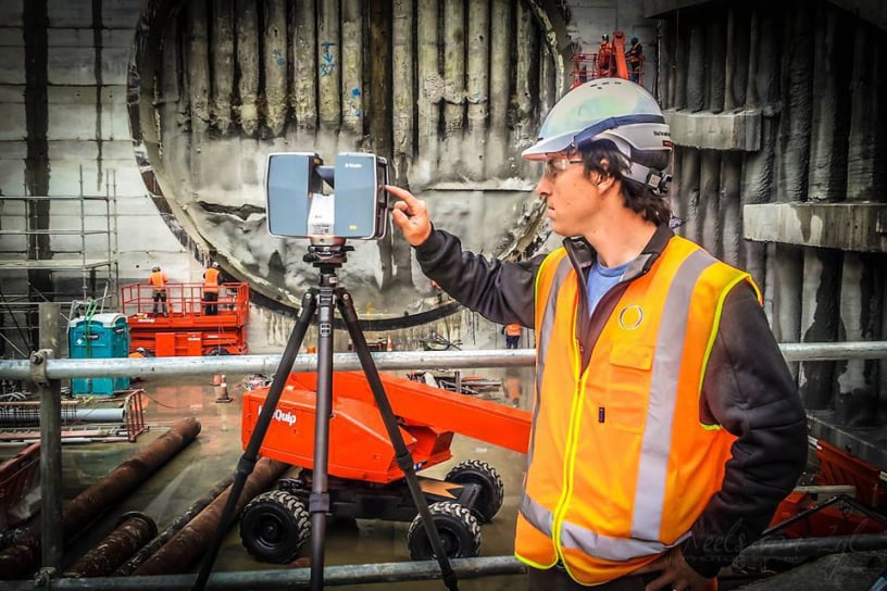
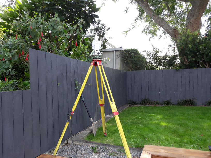
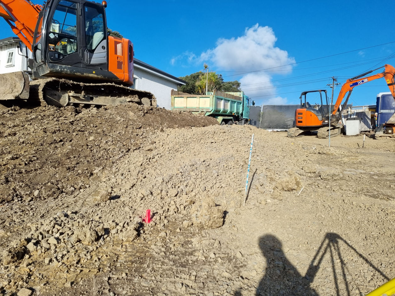
Field delivery, setout, and managing large infrastructure datasets — from cadastral control to drone capture and point-cloud outputs — to keep complex projects moving.

Josh Andrew - GeoSurvey
Josh Andrew

Senior Surveyor • CPEngSurv • Diploma In Surveying

Field delivery, setout, and keeping complex sites moving when conditions, coordination, or sequencing get messy.

Ryan Trotter - GeoSurvey
Ryan Trotter

Surveyor • Bachelor of Surveying

Field delivery, technical coordination, and reliable execution across multidisciplinary projects.

Jacques Kriek - GeoSurvey
Jacques Kriek

Surveyor • Diploma In Surveying

Field delivery, setout, and applying three decades of international surveying experience with a strong focus on accuracy and dependable results.

Theo Gray - GeoSurvey
Theo Gray

Survey Technician • Bachelor of Surveying

Field delivery support, data processing, and assisting with survey outputs across cadastral, drone, and point-cloud workflows.

Riki Bush - GeoSurvey
Riki Bush

Survey Technician • Bachelor of Surveying

Field delivery support, setout assistance, and developing practical surveying skills across construction and infrastructure sites.

Jerry Zheng - GeoSurvey
Jerry Zheng

Surveyor • Diploma In Surveying

Field delivery, setout, and dependable cadastral and construction survey delivery, working closely with legal and project stakeholders.

Vanesa Cutfield - GeoSurvey
Vanesa Cutfield

Accounts & Co-founder • Bachelor of Business Administration

Accounts, credit management, and office operations, supporting smooth project delivery and cashflow.

Reality Capture

Drone/UAV Surveys

Elevate your site data with cutting-edge drone technology, delivering efficient and high-resolution aerial surveys for mapping, inspection, and monitoring purposes with unparalleled precision

Topographic Surveys

Accurate and reliable topographical survey services that provide comprehensive data and insights for your construction, engineering, or land development projects

Asbuilt Surveys

Get certified precise and detailed as-built survey services to accurately document and capture the existing conditions of your construction or infrastructure project to the Council's standards

Laser Scanning

Unlock the power of advanced laser scanning technology to capture highly accurate 3D data of your surroundings, providing comprehensive insights for a wide range of industries and applications

Monitoring Surveys

Ensure the ongoing health and stability of your infrastructure or environmental assets through our comprehensive monitoring survey solutions, utilising advanced techniques and technologies to provide real-time data and insights for informed decision-making

Volume Calculation

Optimise your earthworks and construction projects with our precise volume survey services, accurately measuring and calculating quantities of materials to streamline operations and minimise costs

Setout and Stakeout

Civil and Construction

Safeguard the success of your construction projects with our reliable construction markout survey services, providing accurate positioning and identification of key elements to facilitate smooth and efficient construction activities

Boundary Marking

If you are doing fencing work, or need to know your property extents, gain clarity and confidence in your property boundaries with our comprehensive boundary survey services, ensuring accurate identification and demarcation of property lines for legal and planning purposes

Certification

Streamline the council certification process with our expert survey services, delivering accurate and detailed documentation to support your applications for council approvals and compliance

Cadastral Surveys

Unit Titles and Cross Lease

Navigate the complexities of unit titles and cross lease properties with ease through our specialised survey services, providing precise measurements and plans to facilitate property subdivision and ownership arrangements

Limited Titles

Experience a seamless process for removing limited titles from your property with our professional survey services, ensuring accurate documentation and compliance with legal requirements

Subdivision

Unlock the potential of your land with our comprehensive subdivision survey services, guiding you through the intricacies of the subdivision process to maximise your property's value and development opportunities

GeoSurvey
Surveying is our passion

At GeoSurvey, land surveying is not just a service we provide; it's our passion and unwavering commitment to unlocking the true potential of every property, one measurement at a time.
With a deep-rooted appreciation for the importance of accurate land surveying, we are driven by the belief that precise data and comprehensive insights are the foundation for successful land development, infrastructure projects, and informed decision-making.
Our team of dedicated professionals embraces the challenges of land surveying, combining cutting-edge technology, meticulous attention to detail, and a genuine love for the craft to deliver exceptional results that exceed client expectations and leave a lasting impact on the landscapes we shape.

Write Us a Message

Prefer to call? 027 239 0266 · michael@geosurvey.co.nz

GeoSurvey Limited - 027 239 0266 - michael@geosurvey.co.nz


📍 GeoSurvey – Takapuna

B:Hive,
74 Taharoto Road,
Takapuna, Auckland 0622

📍 B:Hive, 74 Taharoto Road, Takapuna, Auckland 0622

Affiliations and Licenses

GeoSurvey is proudly certified, licensed and a member with the following organisations:
Survey and Spatial New Zealand
Consulting Surveyors of New Zealand
Cadastral Surveyor Licensing Board of New Zealand